- Value of implementation: 915,819,876,000 VND
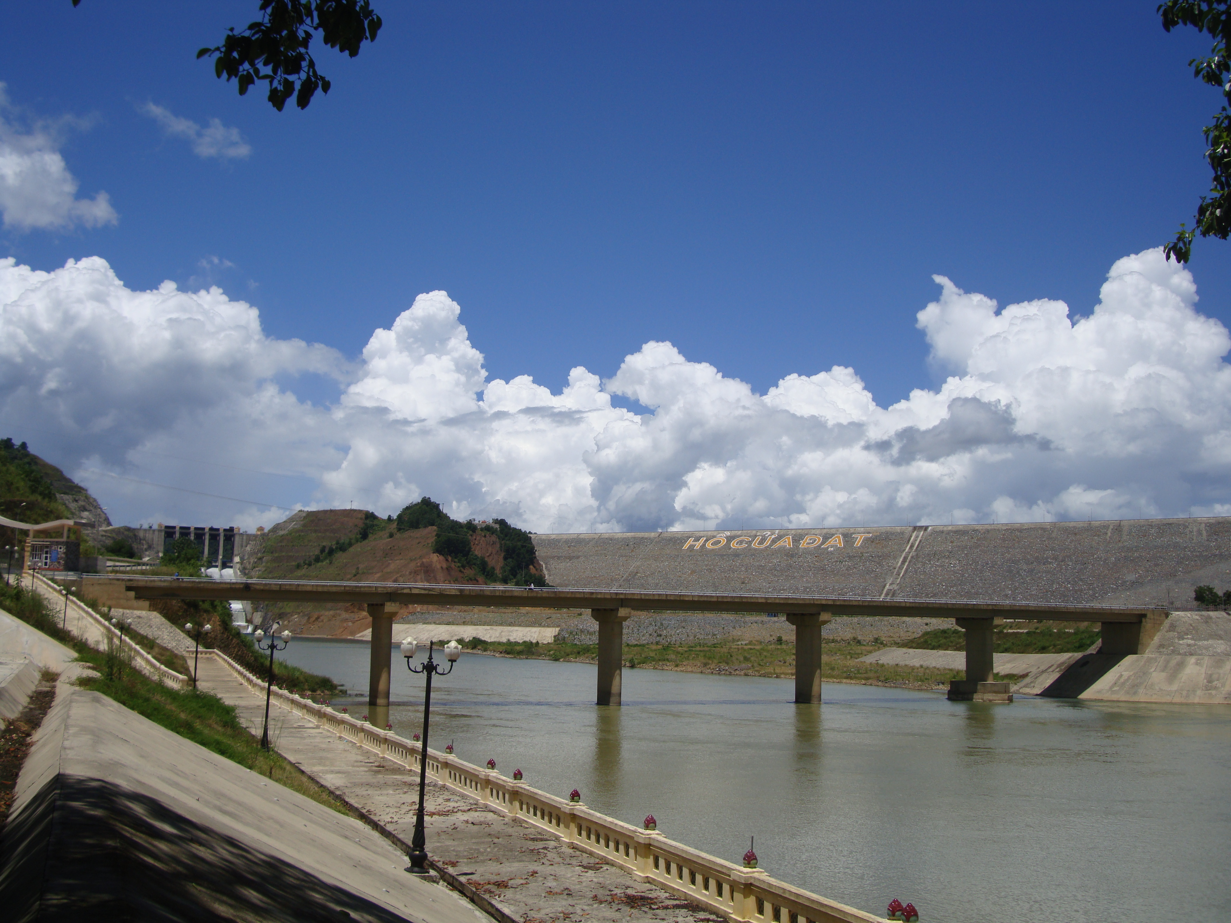
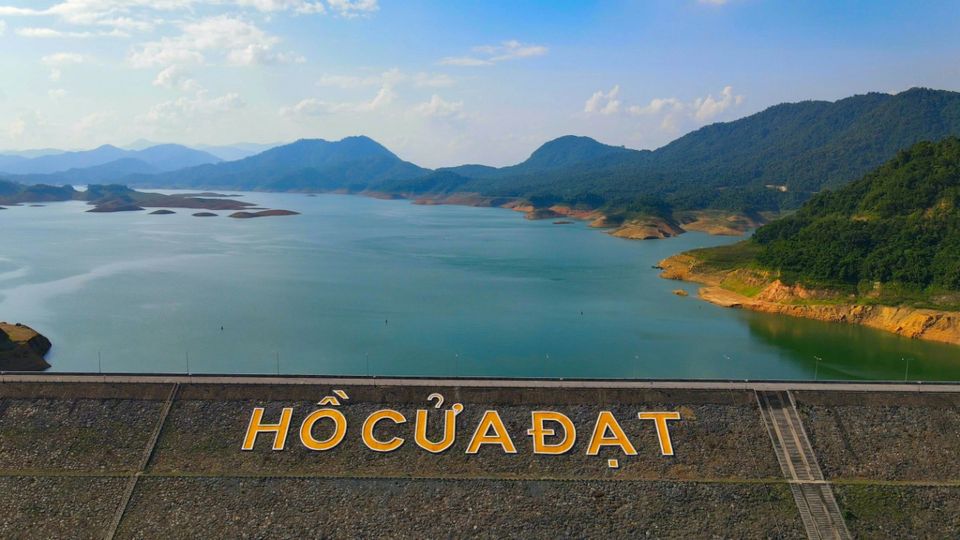
- Location: Xuan My Commune, Thuong Xuan District, Thanh Hoa Province
- Time to start and end: 2004 – Quarter II/2010
- Details: Cua Dat Reservoir is a large reservoir in Xuan My Commune, Thuong Xuan District, Thanh Hoa Province. Ma, Thanh Hoa province, such as:
- Create a stable water source for irrigation for 86,862ha of arable land (in which 54,043 hectares are in the South of the Chu River and 32,831 hectares in the North Chu-South Ma river).
- Combined power generation with installed capacity N=(88-97)MW
- Water supply for industry and daily life with a flow rate of 7,715 m3/s
- Reducing floods with a frequency of 0.6%, ensuring that the water level in Xuan Khanh does not exceed 13.71 m (historic flood in 1962).
Vinaconex Corporation is the general contractor for the construction of the main irrigation works (phase 1), belonging to the Cua Dat Reservoir project, Thanh Hoa province, directly constructing the following items: flood spillway, TN2 tunnel. Cay and Hon Can sloping sub-dams.
Construction items include:
- Key areas: Grade I works.
- Flood discharge: 5 discharge gates with size (11*17)m, width 55m, discharge with frequency P=0.1% is 8200m3/s.
- Water intake tunnel is 620m long, D=7.5m in diameter.
- Doc Cay sub-dam area: earth dam, the elevation of the dam crest is
+122.30m; dam length 220.4m;
- Hon Can sub-dam area: earth dam, dam crest elevation is
+122.50m, dam length 357m;